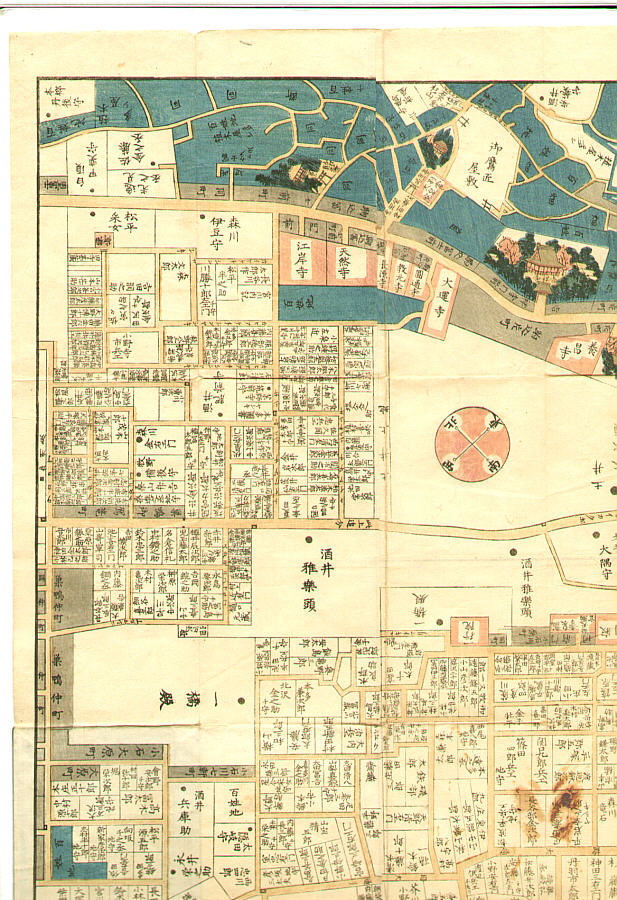
無款による浮世絵「Map of Komagome in Edo era - Owariya Edition」
作者:無款
作品名:Map of Komagome in Edo era - Owariya Edition
制作年:Originally 1857.
詳細:元のオークションページは現在公開されていません。この作品の詳細はArtelinoアーカイブでご覧いただけます(無料のアカウント登録が必要です)。
情報源:artelino - Japanese Prints
浮世絵(全 24,751 件)を表示...
説明:
"Owariya Ban Kiri-e Zu". The 31 folded maps of different parts of Edo, published one by one during 1850-1865 by Owariya. These were the maps people actually used to locate addresses. Red color indicates temple, shrine and Buddhist related areas. Grays are small housing areas. Larger houses have their family names indicated. Blue is farms and forests. This one is the map of Komagome area. Torii and Fuji-zuka (small Mt.Fuji) next to Ryumon-in, Kichijo-ji Temple, the medicinal plant garden.